Maritime Intelligence API
Find Vessels by Navigation Status
Search for vessels by AIS navigational status with advanced filtering by maritime zone, vessel type, laden condition, and for-order status. Track vessels at anchor, underway, drifting, or engaged in specific operations.

9 Navigation Statuses
Complete AIS status coverage
50+ Maritime Zones
Global ocean coverage
Real-time Data
Live AIS broadcasts
800K+ Vessels
Tracked worldwide
Monitor vessels by operational status
Track vessels at anchor awaiting berth, monitor fishing activity in your waters, identify drifting vessels, or find laden tankers sailing for orders. Filter by zone, vessel type, and operational parameters.
- Zone filtering — Search in specific maritime regions
- Vessel type filter — Bulk carriers, tankers, containers, and more
- Laden status — Ballast, partial, or fully laden
- For-order tracking — Vessels sailing without final destination
Vessels at Anchor - Baltic Sea
LiveBulk carriers waiting for berth
NORD CARRIER
IMO 9876543 • Panama
Bulk Carrier
BALTIC STAR
IMO 9123456 • Liberia
Bulk Carrier
SEA VENTURE
IMO 9456789 • Marshall Islands
Bulk Carrier
Results filtered by: at-anchor, baltic-sea, bulk-carrier
Explore the API
Navigation statuses & world zones
Browse the AIS statuses you can filter by, see every maritime zone on the map, and grab a sample request.
Europe & Mediterranean
Middle East & Caspian
Africa
Asia & Russia
Oceania
North America
South America
Open Oceans
41 world zones
World overview
Adriatic Sea
Adriatic Sea · Europe & Mediterranean
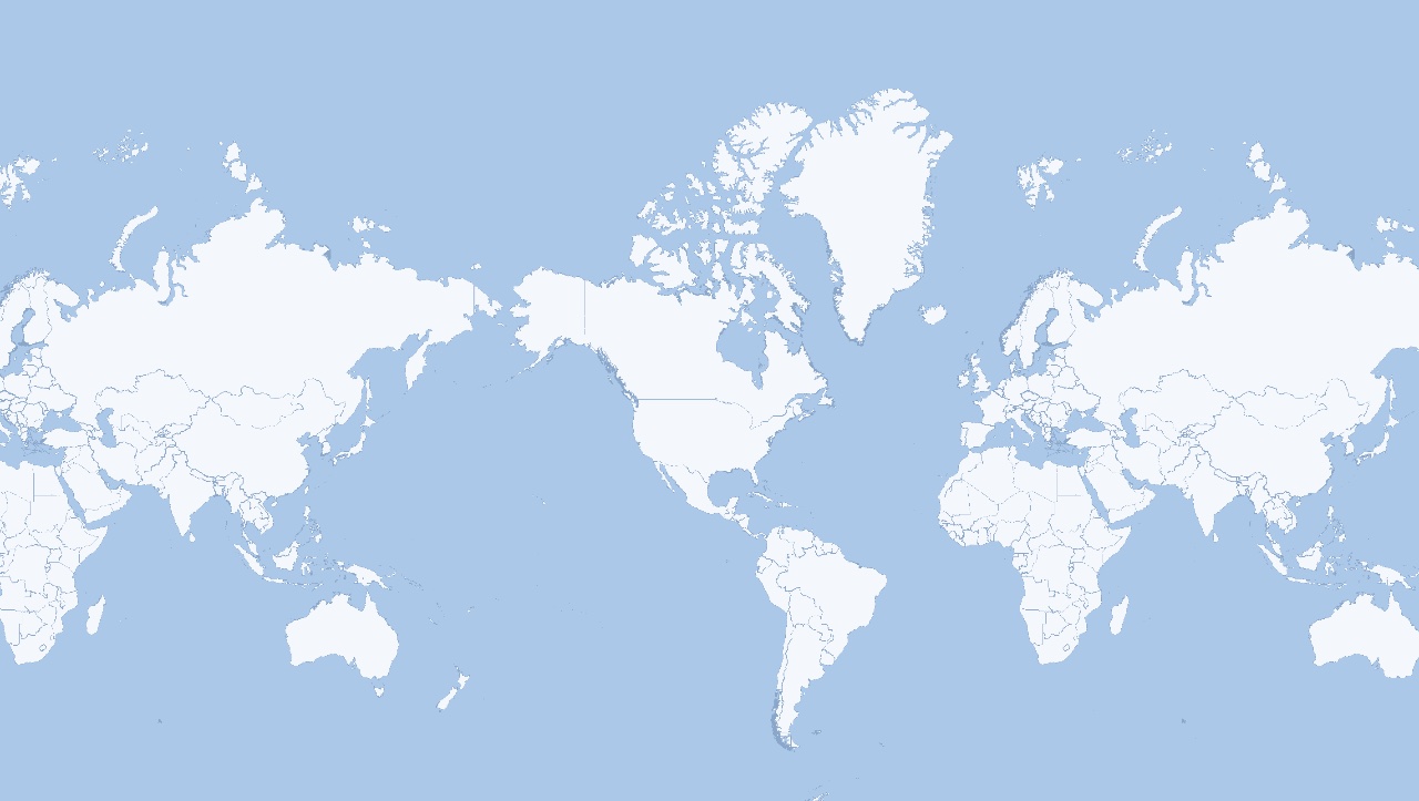
world_zone=adriatic-seaThe dots are an example snapshot of vessels in this zone — the live endpoint returns the full list of vessels matching your filters. Zones marked ⬡ AREA have a Boundary view showing the exact shaded extent. The Earth is a globe, so this flat map wraps: a zone near the left or right edge can appear on both sides.
Quick Start
POST request with optional navigation status, zone, and filters
POSTVessels by Navigation Status
POST /api/vessels_operations/get-vessels-by-navigational-status
{
  "navigational_status": "at-anchor",  // optional — omit to query all statuses
  "world_zone": "baltic-sea",
  "vessel_type": "bulk-carrier"
}
Cost: 10 credits • Rate limit: 15/min
Who Uses This API?
Port Authorities
Monitor vessels at anchor or moored in your jurisdiction. Track congestion, optimize berth allocation, and identify vessels waiting for entry.
Maritime Surveillance
Track vessels by operational status for security monitoring. Identify drifting vessels, fishing activity, or unusual navigation patterns.
Commodity Trading
Monitor laden tankers at anchor near key ports. Track vessels sailing for orders to anticipate supply movements and market dynamics.
Fleet Operators
Monitor your fleet's operational status across different maritime zones. Optimize routing and track vessels waiting for orders.
Frequently Asked Questions
Is navigational_status required?
No — navigational_status is now optional. You can omit it to query across all statuses within a zone or vessel type. However, if the query would return more than 10,000 results the API responds with HTTP 422: "This query is expected to return more than 10,000 results, which exceeds the maximum number of record that can be retrieved in a single request. Please specify the navigational status parameter to narrow the result set and try again." Adding navigational_status is the recommended way to narrow the result set.
Which navigational statuses require a world zone?
Most statuses require a world_zone parameter: under-way, at-anchor, moored, restricted, fishing, and sailing. The exceptions are drifting, constrained, and aground, which can be queried globally without specifying a zone.
How often is the navigation status data updated?
Navigation status is derived from real-time AIS broadcasts. Our system processes AIS messages continuously, with most vessels transmitting their status every 2-10 seconds when moving and every 3 minutes when at anchor.
Can I filter by laden condition?
Yes! Use the laden parameter to filter by load status: ballast (0-49% load), partial (50-75% load), or laden (76-100% load). This is especially useful for tracking empty tankers or fully loaded bulk carriers.
What does "for_order" mean?
Vessels "sailing for orders" are underway but haven't received their final destination yet. This is common in commodity shipping where charterers wait for market conditions before committing to a discharge port.
What is the rate limit and cost?
This endpoint costs 10 credits per request and has a rate limit of 15 requests per minute. Each request can return multiple vessels matching your criteria.
Related Solutions
Explore other maritime data endpoints
Start Tracking Vessels by Navigation Status
Monitor vessel operations across maritime zones with real-time AIS data. Start with a free trial.
Start Free Trial