AIS Data Integration
Build Vessel Tracking Platforms
Power your maritime applications with real-time AIS data. Combine satellite and terrestrial sources for global coverage with continuous position updates.
Free Trial Available
Real-World Applications
AIS (Automatic Identification System) data forms the foundation of modern maritime intelligence. Whether you're building a fleet dashboard, cargo tracking portal, or market analysis tool, reliable AIS integration is essential. Here's how organizations leverage AIS data to build powerful maritime applications.
1Real-Time Position Streaming
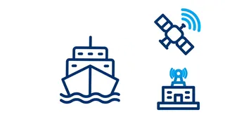
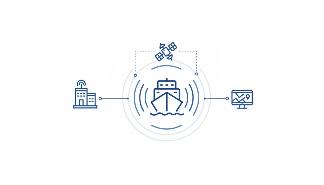
At its core, AIS provides vessel positions in near real-time. Ships broadcast their identity, position, course, and speed via VHF radio. This data is collected by terrestrial receiving stations along coastlines and by satellites covering open ocean areas. By combining both sources, you achieve truly global coverage.
- Query individual vessel positions by IMO or MMSI identifier
- Bulk queries for monitoring hundreds of vessels simultaneously
- Position updates typically every few minutes globally
- Coverage extends from coastal waters to mid-ocean
2Enriching Raw Positions
Raw AIS positions become more valuable when combined with vessel particulars. Knowing that a vessel is at a specific location is useful; knowing it's a 300,000 DWT VLCC carrying crude oil is actionable intelligence. Enrichment transforms data points into business insights.
- Join position data with vessel specifications (type, size, capacity)
- Add ownership and operator information for counterparty identification
- Include flag state and classification society for compliance context
- Overlay inspection history for risk assessment
3Geographic Monitoring
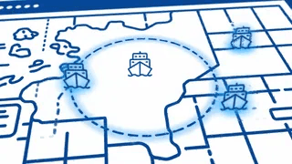
Many use cases require monitoring specific areas rather than specific vessels. Port approaches, shipping lanes, maritime chokepoints, and exclusive economic zones all represent geographic areas of interest. Area-based queries enable this spatial intelligence.
- Define geographic boundaries using coordinates or port codes
- Monitor all vessels entering or exiting defined zones
- Track vessel density and traffic patterns in congested areas
- Set up alerts for specific vessel types in sensitive regions
4Building Your Application
Whether you're creating a customer-facing tracking portal, an internal operations dashboard, or an analytical tool, the integration pattern is similar. Query the APIs, store relevant data, and present it through your interface. The flexibility of RESTful APIs means you can build in any technology stack.
- RESTful APIs integrate with any programming language
- JSON responses parse easily into your data models
- Credit-based pricing scales with your actual usage
- Test with 20 free credits included on sign-up
Key Takeaway
AIS data integration opens possibilities from simple vessel tracking to sophisticated maritime intelligence platforms. Start with basic position queries, then layer in enrichment, area monitoring, and historical analysis as your needs grow.
AIS Data Integration Architecture
How AIS data flows from source to your application.
input
AIS Receivers
api
Vessel Location API
api
Vessel Particulars API
api
Vessels by Area API
output
Your Application
Input
AIS Receivers
Data Docked APIs
Vessel Location API
Vessel Particulars API
Vessels by Area API
Output
Your Application
Your Systems
API Endpoints
Output
Build Your First Integration
From API key to live vessel data in under an hour
1
Get Your API Key
Sign up and generate your API credentials. API access is immediate — 20 free credits included.
2
Make Your First Call
Query a vessel position using our REST API. Test with any IMO or MMSI number.
3
Parse the Response
JSON responses include position, speed, heading, and timestamp. Easy to integrate.
4
Scale Your Integration
Add bulk queries, area monitoring, and vessel enrichment as your application grows.
What You Can Achieve
Typical outcomes when implementing this use case
Real-time
Position Updates
Near real-time global coverage
100K+
Vessels Tracked
Global commercial fleet coverage
REST API
Integration
Works with any tech stack
Pay-as-you-go
Pricing
Credit-based usage model
Want to learn more about maritime data?
Explore our guides and documentation
Explore Other Use Cases
See how other industries use maritime data
Ready to Build with AIS Data?
Start integrating real-time vessel positions into your application today.