Fishing Intelligence
Monitor Fishing Activity at Scale
Track fishing vessels, detect illegal fishing, and analyze fishing patterns with comprehensive vessel movement data.
Free Trial Available
Investigation Workflow
Illegal, unreported, and unregulated (IUU) fishing costs the global economy billions annually and threatens marine ecosystems. AIS data provides the visibility needed to monitor fishing fleets, detect suspicious activity, and enforce fishing regulations. Here's how maritime authorities and conservation organizations leverage vessel data.
1
Phase 1
Identify Fishing Vessels
Build a comprehensive database of fishing vessels operating in your areas of interest.
1
Query vessel particulars to identify vessels with fishing ship types (30-39)2
Cross-reference with national fishing vessel registries3
Note vessel dimensions, flag state, and home port4
Track vessel ownership changes over timeAPIs Used
2
Phase 2
Monitor Fishing Zones
Track vessel activity in marine protected areas, exclusive economic zones, and regulated fishing grounds.
1
Define geographic boundaries for protected areas and fishing zones2
Query all vessels within these areas in real-time3
Identify vessels entering restricted zones4
Track time spent in different fishing areas3
Phase 3
Detect Suspicious Behavior
Identify patterns that may indicate illegal fishing or transshipment activity.
1
Monitor for vessels "going dark" (disabling AIS) in fishing grounds2
Detect potential ship-to-ship transfers at sea3
Identify vessels loitering in unusual locations4
Track fishing activity near maritime boundariesAPIs Used
4
Phase 4
Analyze Fishing Patterns
Use navigation status and movement patterns to identify actual fishing activity.
1
Monitor navigation status changes to "Engaged in Fishing" (status 7)2
Analyze speed patterns typical of trawling or longlining3
Track seasonal fishing patterns and migration4
Calculate total fishing effort by area and vessel5
Phase 5
Generate Reports & Alerts
Create actionable intelligence for enforcement and policy decisions.
1
Set up real-time alerts for zone violations2
Generate vessel activity reports by timeframe3
Document evidence for enforcement actions4
Share intelligence with partner agenciesCombining real-time vessel tracking with historical analysis enables effective monitoring of fishing activity. The key is establishing baselines for normal behavior and flagging anomalies for investigation.
Fishing Intelligence Pipeline
How vessel data transforms into fishing activity insights.
input
Global AIS Data
process
Fishing Vessel Filter
api
Vessels by Area API
api
Historical Track API
output
Fishing Analytics
Input
Global AIS Data
Data Docked APIs
Vessels by Area API
Historical Track API
Fishing Vessel Filter
Output
Fishing Analytics
Your Systems
API Endpoints
Output
SEE IT BY ZONE
Filter fishing activity by maritime zone
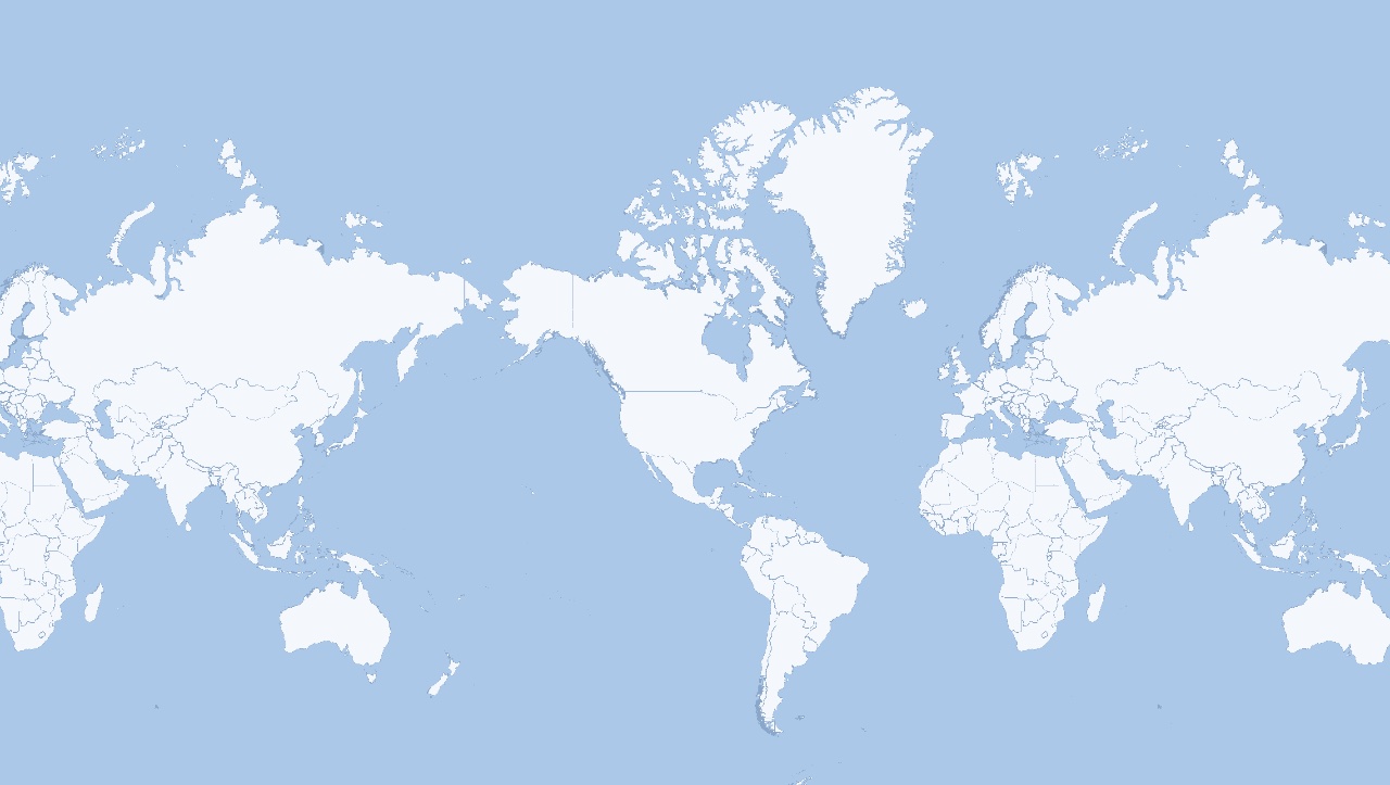
Pick a zone to scope queries to the waters you care about — EEZs, fishing grounds, or protected areas. The slug shown is the value you send to the Vessels by Navigational Status endpoint.
Europe & Mediterranean
Middle East & Caspian
Africa
Asia & Russia
Oceania
North America
South America
Open Oceans
41 world zones
World overview
Adriatic Sea
Adriatic Sea · Europe & Mediterranean
world_zone=adriatic-seaThe dots are an example snapshot of vessels in this zone — the live endpoint returns the full list of vessels matching your filters. Zones marked ⬡ AREA have a Boundary view showing the exact shaded extent. The Earth is a globe, so this flat map wraps: a zone near the left or right edge can appear on both sides.
Need the full reference? Open the Vessels by Navigational Status API page →
Start Monitoring Fishing Activity
Build fishing intelligence into your maritime monitoring platform
1
Define Your Areas
Identify the marine zones, EEZs, and protected areas you need to monitor.
2
Track Fishing Vessels
Query vessels by area filtered to fishing vessel types (ship type 30-39).
3
Analyze Movement Patterns
Use historical data to identify fishing behavior vs. transit patterns.
4
Set Up Alerts
Create automated notifications for zone violations and suspicious activity.
What You Can Achieve
Typical outcomes when implementing this use case
Real-time
Zone Monitoring
Continuous visibility of fishing grounds
2 Years
Historical Data
Deep analysis of fishing patterns
Global
Coverage
Track fishing fleets worldwide
Ship Type
Filtering
Focus on fishing vessels only
Want to learn more about maritime data?
Explore our guides and documentation
Explore Other Use Cases
See how other industries use maritime data
Ready to Monitor Fishing Activity?
Get the vessel data you need to protect marine resources and enforce fishing regulations.